
Iceland Volcano: Magma Accumulation Continues Beneath Svartsengi -- Iceland Met Office
 Lava flows from a fissure near Grindavik, Iceland, on Jan. 14, 2024. Iceland Department of Civil Protection
The risk associated with fissures within Grindavík remains very high in the updated hazard assessment
Information is updated regularly here and on X (Formerly known as Twitter).
Updated 25 Jan. 17:30 UTC
Inflation continues at Svartsengi. Over the past few days, the land has been rising at a rate of approximately 8 mm per day, slightly exceeding the recorded rate of uplift before the eruption on Jan. 14th.
At this point, it is challenging to determine exactly how much magma has accumulated beneath Svartsengi since the eruption ended on Jan. 16th. Most likely, the timeframe required to reach the same volume of magma as before the last eruption will be on the order of weeks, not days. Computational models are being refined to obtain a clearer assessment of the status of magma accumulation.
Low levels of seismic activity persist and are mostly concentrated around Hagafell. The current seismic activity aligns with that observed in the area following the previous eruption.
The Icelandic Meteorological Office has issued an updated hazard assessment map. The main changes include reducing the overall hazard level for Grindavík to orange (significant risk).
It should be noted that, although the overall hazard level for Grindavík has been reduced by one level, the risk associated with fissures remains very high. The current risk is now referred to as "subsidence into a fissure," describing the danger that may be present where fissures are hidden beneath unstable surfaces that could collapse and develop sinkholes.
The hazard assessment related to fissure development within Grindavík has decreased. Evaluations are underway to determine if there is a risk of existing fissures expanding or new fissures forming. GPS data have exhibited very little movement within Grindavík the past few days, reducing the assessed risk compared to before. The risk due to sinkholes overlying fissures is now considered significant.
 (Click on the picture to see it larger). Increased risk in the area due to the eruption near Hagafell on Jan. 16th and land uplift near Svartsengi. Conditions within and outside the hazard areas can change with little warning. Risk assessment is focused solely within these areas, but the danger may extend beyond them. The overall hazard assessment for each area is based on a combined evaluation of 7 types of hazards present or possible within the regions. The color of each area reflects the overall risk within those boundaries.
- CategoriesEdited | All Content | Disasters | Earthquakes | Volcanos | Government | Science | Europe | Atlantic Ocean | News | News -- WNT Selected
- CreatedFriday, January 26, 2024
- Last modifiedMonday, February 05, 2024
SUBSCRIBE
Sign up for our weekly newsletter and World News Trust project updates.

World Desk Activities

techxplore.com/news/2024-06-cryptocurrencies-massi…

medicalxpress.com/news/2024-06-evidence-regular-co…
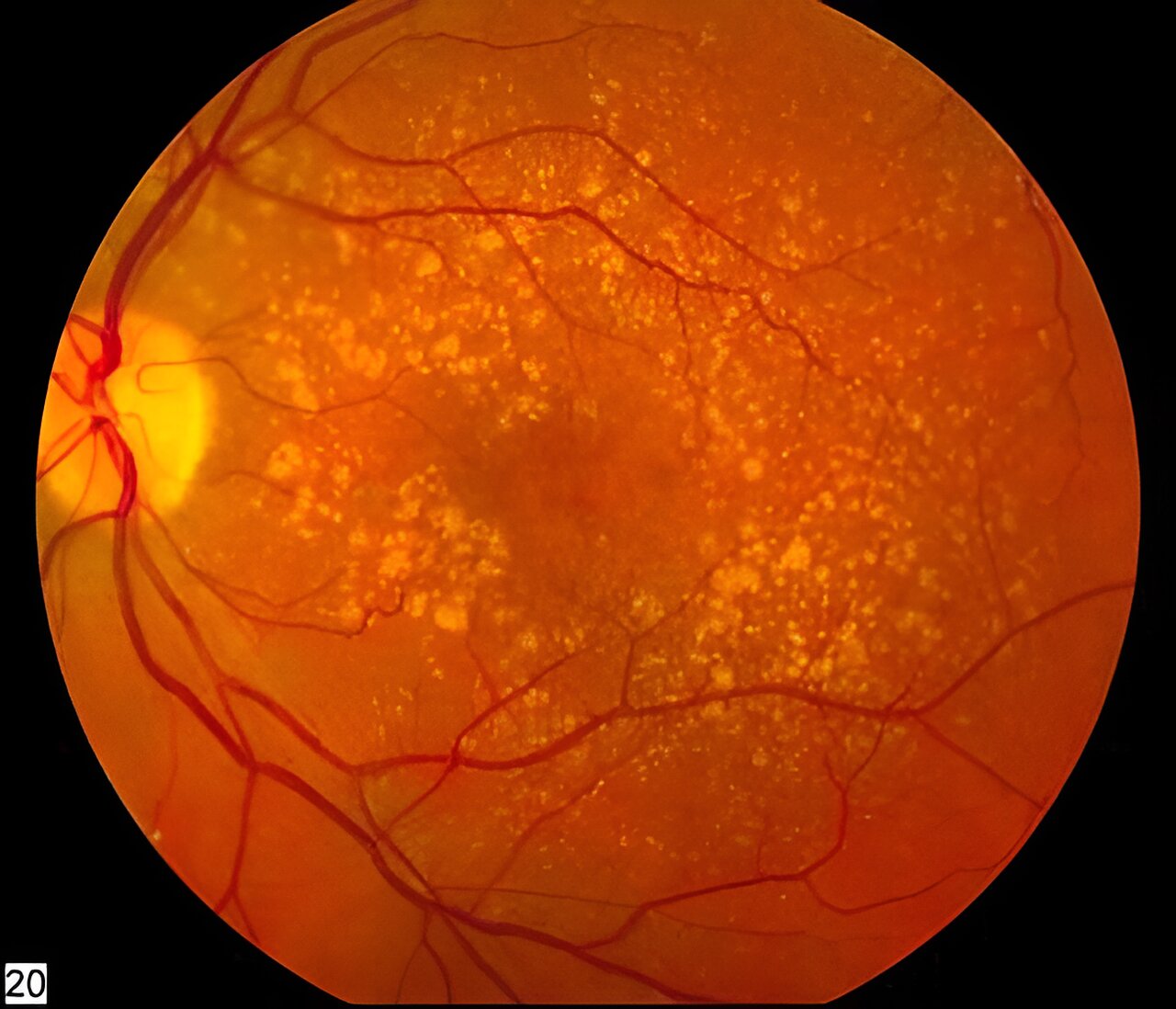
More evidence suggests regular consumption of melatonin can reduce chances of age-related macular degeneration
A team of medical researchers from Case Western Reserve University School of Medicine and the Cleveland Clinic's Center for Ophthalmic Bioinformatics has found further evidence…
phys.org/news/2024-06-evolutionary-basis-male-beha…
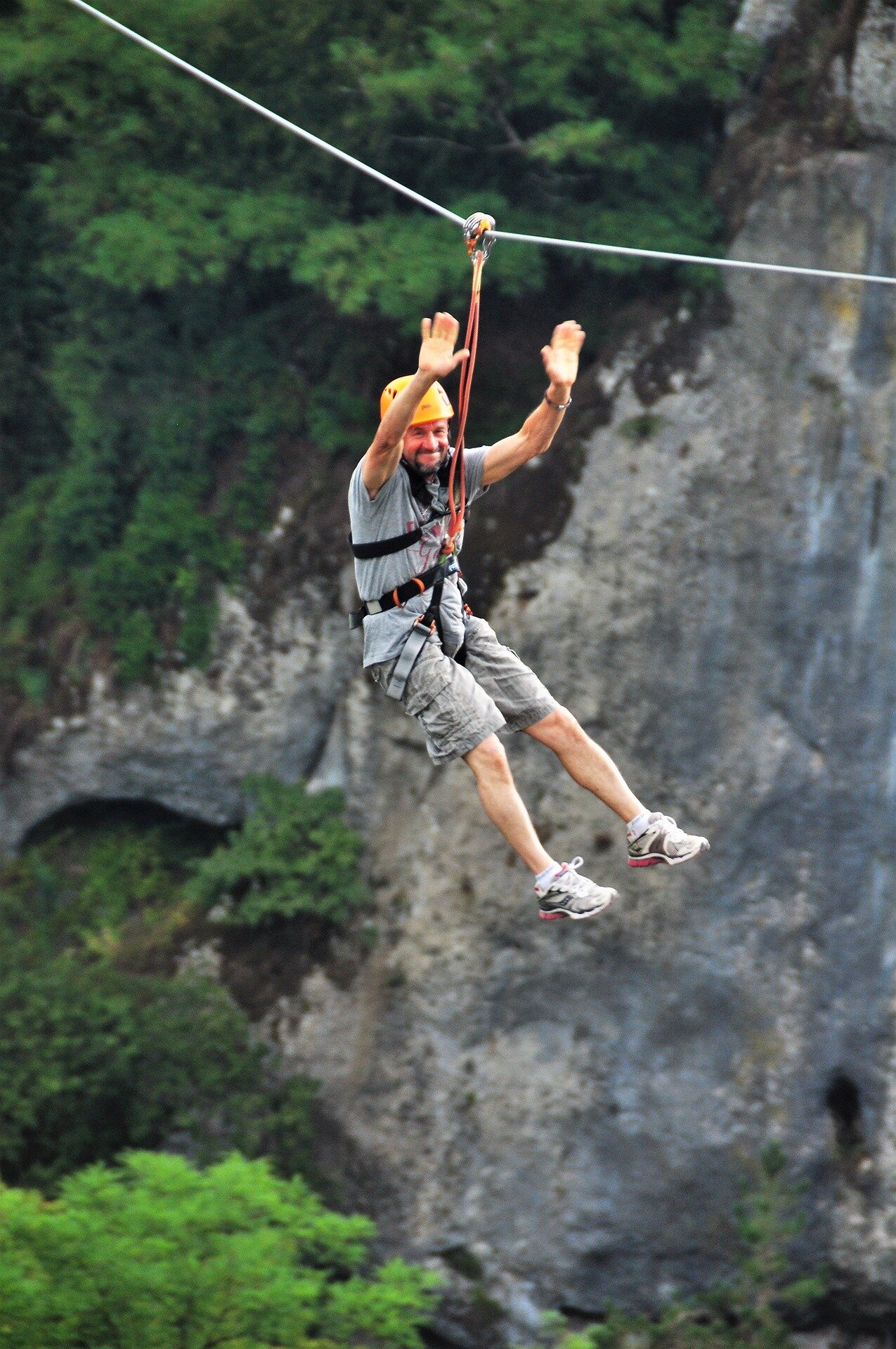
Study suggests evolutionary basis for male risk-taking behaviors
A new study from The University of Western Australia and Edith Cowan University has found evidence of what's long been suspected—that men are more likely…
phys.org/news/2024-06-fresh-key-conditions-life-ea…
Study finds fresh water and key conditions for life appeared on Earth a half-billion years earlier than thought
We need two ingredients for life to start on a planet: dry land and (fresh) water. Strictly, the water doesn't have to be fresh, but…
phys.org/news/2024-05-composition-gut-microbiota-d…
Composition of gut microbiota could influence decision-making
The way we make decisions in a social context can be explained by psychological, social, and political factors. But what if other forces were at…
phys.org/news/2024-05-whales.html
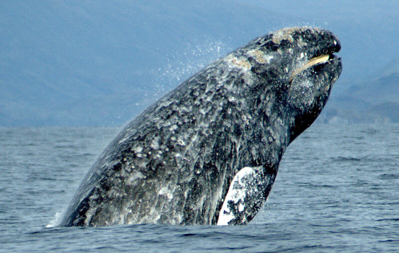
Are we really about to talk to whales?
The past decade has seen an explosion of new research into some of the most fascinating sounds in the sea: the vocalizations of whales and…
phys.org/news/2024-05-black-teachers-lost-civil-ri…

How Black teachers lost when civil rights won in Brown v. Board
Brown v. Board of Education, the Supreme Court decision that desegregated public schools, stands in the collective national memory as a turning point in America's…
phys.org/news/2024-05-cancer-drug-pollution-global…
Cancer drug pollution is a growing global concern
As incidence of cancer increases globally, the use of cancer drugs is also growing at a rate of approximately 10 percent per year in developed…
phys.org/news/2024-05-summer-northern-hemisphere-h…
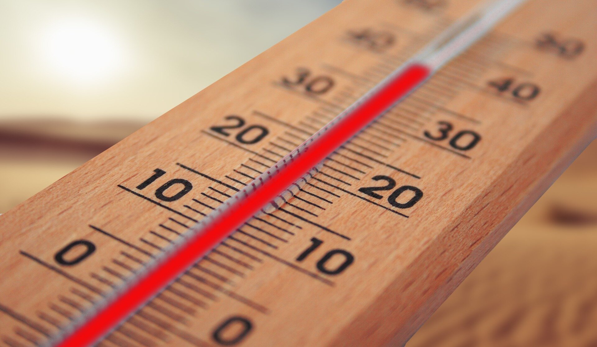
Summer 2023 was northern hemisphere's hottest for 2,000 years, tree rings show
The summer of 2023 was the warmest in the non-tropical areas of the northern hemisphere for 2,000 years, a new study has shown.
phys.org/news/2024-05-blooded-dinosaurs-roamed-ear…

When the first warm-blooded dinosaurs roamed Earth
Scientists once thought of dinosaurs as sluggish, cold-blooded creatures. Then research suggested that some could control their body temperature, but when and how that shift…
Latest Stories


Electronic Frontier Foundation
- The UN Cybercrime Draft Convention is a Blank Check for Unchecked Surveillance Abuses June 14, 2024
- If Not Amended, States Must Reject the Flawed Draft UN Cybercrime Convention Criminalizing Security Research and Certain Journalism Activities June 14, 2024
- Hand me the flashlight. I’ll be right back... June 13, 2024
- EFF to Ninth Circuit: Abandoning a Phone Should Not Mean Abandoning Its Contents June 12, 2024
The Intercept
- These “Tent Massacre” Survivors Couldn’t Afford to Leave Rafah. The Next Israeli Attack Nearly Wiped Their Family Out. June 14, 2024
- GOP States Double Down on Fighting Medication Abortion After Supreme Court Keeps It Legal June 13, 2024
- Medical Aid Worker Describes the Bloody Aftermath of Israel’s Hostage Rescue June 13, 2024
- House Votes to Block U.S. Funding to Rebuild Gaza June 12, 2024
VTDigger
- Extreme heat and rising humidity headed to Vermont early next week June 14, 2024
- Rev. Elissa Johnk: Overdose prevention centers save lives; they must be tried June 14, 2024
- A lawmaker was caught on tape dumping water into her colleague’s bag. He says it’s part of a yearslong pattern of bullying. June 13, 2024
- Despite broad support in the Legislature, Phil Scott vetoes data privacy legislation June 13, 2024
